TOMORROWS TRANSPORTATION NEWS TODAY!

Tag: Copernicus

Airbus Wins First Syracuse IV Ground Segment Program Contract

Paris, France 4 March 2020 – Within the Syracuse IV programme, Airbus (Paris: AIR.PA) has been awarded a 10-year framework agreement called Copernicus for the construction and upgrading of part of the ground segment for the telecommunications satellites used by the French Armed Forces. As part of Copernicus, the French Directorate General of Armaments (DGA) has placed an initial order worth more than € 100 million.

Dominique Maudet, Head of French Defence Sales at Airbus Defence and Space said: “We are building the future broadband and multi-satellite ground segment for France’s Armed Forces. It will be fully integrated, intelligent and dynamic, giving operators access to a decision-making tool unique to satellite communications management.”

This first order specifically covers the development of the future satellite communications management system for the French Ministry of Defence. This unique portal called Pegasus, accessible to all units, will enable the French Armed Forces to optimise use of the available capacities on military and commercial satellites. It will make it possible to coordinate requests entered by central military staff or any unit deployed on the ground, at sea or in the air. Allocation of satellite capacities will be optimised in terms of operational criteria completed by the units, such as the type of terminals used, ground cover, level of cyber security, jamming resistance, as well as the need for availability.

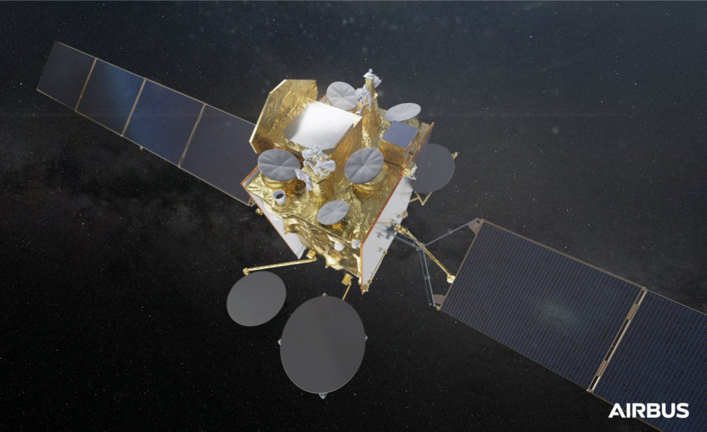
The Copernicus project also aims to increase the operability of Comcept, the multi-satellite communications network designed by Airbus and commissioned by the French armed forces in 2017. Comcept uses the broadband Ka-band transmission capacities of the Franco-Italian military satellite ATHENA-FINDUS, in addition to the Ku- and C-band capacities of commercial satellites. Thanks to these developments, Comcept will also be able to use the high-speed Ka-band of future satellites SYRACUSE 4A and 4B.

Different elements of the SYRACUSE IV programme’s future ground segment and the Pegasus portal will enable the French armed forces to use the entire spectrum of satellite capacities efficiently and dynamically, from the most secure and resilient to the high-speed and wide coverage capacities, in all areas of operations.

Leonardo Joins Adelaide’s Lot Fourteen Space Precinct

– Partners with SmartSat CRC

Leonardo commits to the South Australian space ecosystem establishing a foothold for its space service business – through its subsidiary e-GEOS – in partnership with SmartSat CRC. e-GEOS is a joint venture between Telespazio – Leonardo’s subsidiary – and the Italian Space Agency.

The news was warmly welcomed by the local community and by the Premier of South Australia Hon. Steven Marshall who recently welcomed Leonardo at Lot Fourteen. “South Australia is the defence and space capital of the Country and it’s fantastic to see another incredible international company choosing South Australia to do business” he commented. “The strong interest being shown by major national and international players is a coup for South Australia and is further evidence that Lot Fourteen is a magnet for business and jobs. The addition of Leonardo to Lot Fourteen cements my governments strong commitment to create a once in a generation hub that will generate thousands of jobs for South Australians now and into the future.” Hon. Marshall stated.

As a dominant worldwide supplier in the space sector, Leonardo aims to collaborate with the Australian space industry to stimulate local growth and competitiveness in global markets.

In 2019, Leonardo Australia through the involvement of e-GEOS (a joint venture between Telespazio – Leonardo’s subsidiary – and the Italian Space Agency), became a supporting partner of Adelaide-based space Cooperative Research Centre SmartSat CRC.  Leonardo Australia’s partnership with SmartSat is a key driver in the company’s strategy to grow its presence in the space industry within the Oceania region and to develop joint research and commercialisation opportunities. As prominent provider of the European Copernicus program, e-GEOS supports rapid security and disaster response operations all over the world, including providing Australian fire authorities rapid mapping during recent bushfires.   

Leonardo Australia is the regional subsidiary of Leonardo, a global top ten high technology Defence and Space company with annual revenues of 23 bn AU$.  

Mr George Coulloupas of Leonardo Australia (Business Development Manager – Space) is leading Leonardo Australia’s Space Line of Business based at Lot Fourteen. George has extensive Australian-based experience in start-up innovation, space-derived service commercialisation and primary.

Successful Launch of Second SpaceDataHighway Satellite

The EDRS-C satellite, the second node of the SpaceDataHighway network (also known as EDRS, European Data Relay System), has been successfully launched into geostationary orbit at 31° East by an Ariane 5 rocket from Kourou, French Guiana. After a test period, it will double transmission capacity of the system in order to serve two observation satellites simultaneously and provide redundant back-up for the SpaceDataHighway.

This second satellite is joining EDRS-A which transmits on a daily basis the images of Earth acquired by the Copernicus programme’s four Sentinel observation satellites. Since it entered service in late 2016, it has achieved more than 20,000 laser connections. The reliability rate has reached 99.5%, and these successful connections have downloaded more than 1 petabyte of data. Full operations including EDRS-C are expected by the end of 2019, when its inter-satellite link and end-to-end service will be tested and commissioned with the Sentinel satellites.

The SpaceDataHighway is the world’s first ‘optical fibre’ network in the sky based on cutting-edge laser technology. It is a unique network of geostationary satellites permanently fixed over a network of ground stations that can transmit data at a rate of 1.8 Gbit/s. It will be a key component of the Airbus Network for the Sky (NFTS) programme. NFTS combines various technologies – satellite and ground communications, air-to-ground, ground-to-air and air-to-air tactical links, 5G mobile communications and laser connections – in a resilient, unified, secure, highly interoperable, mesh network for aircraft, UAVs and helicopters.

SpaceDataHighway satellites can connect to low-orbiting observation satellites at a distance up to 45000 km, intelligence UAVs or mission aircraft via laser. From its position in geostationary orbit, the SpaceDataHighway system relays data collected by observation satellites to Earth in near-real-time, a process that would normally take around 90 minutes. It thus enables the quantity of image and video data transmitted by observation satellites to be tripled and their mission plan to be reprogrammed at any time and in just a few minutes.

“The SpaceDataHighway makes our data connections more secure, more stable, more reliable, with more bandwidth and in near real time.  The launch of our second satellite is just the start, laser communication will be a revolution for many industries,” said Evert Dudok, Head of Communications, Intelligence & Security at Airbus Defence and Space.

A third communication node is to be positioned over the Asia-Pacific region by around 2024. Equipped with three laser terminals, EDRS-D will significantly increase the system’s communication capacity and considerably expand its coverage.

From 2021, the Pleiades Neo Earth observation satellites will begin to use the SpaceDataHighway. By the end of 2019, the system will also provide a fully European broadband communication service to the Columbus module of the International Space Station (ISS).

The SpaceDataHighway is a public–private partnership between the European Space Agency (ESA) and Airbus, with the laser terminals developed by Tesat-Spacecom and the DLR German Space Administration. Airbus owns, operates and provides commercial services for the SpaceDataHighway. The EDRS-C satellite platform supplied by OHB System AG is also carrying a payload for Avanti Communications.